
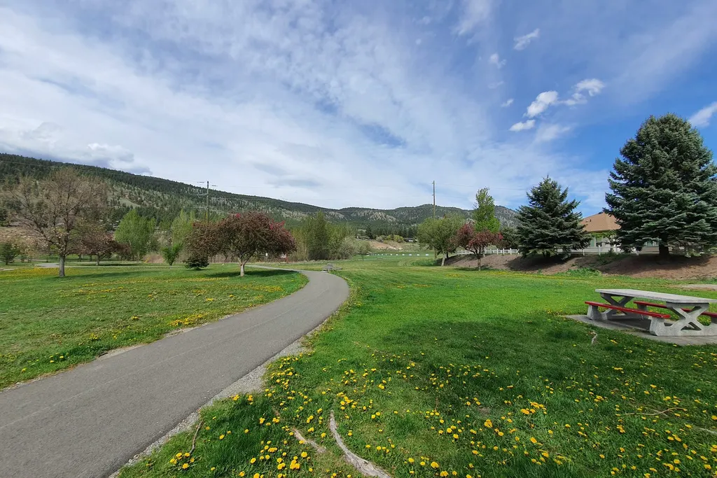
Durango is a trail town, and the numbers back it up: over 100 miles of dirt trails inside city limits plus more than 10 miles of paved path, per the City of Durango. Start easy on the Animas River Trail. Work up to Horse Gulch, Overend and Animas Mountain. Leash the dog, stay off muddy trails, and respect the winter closures (December 1 to April 15).
This guide is for people who live here and use these places all year. We'll cover where to go by season, which rules the city really enforces, and what's changing.
What parks and trails does Durango have?
Think of it as two systems. Paved and concrete paths follow the river and cut through neighborhoods. Dirt trails climb the hillsides, and they're where the mountain bikes live. The city names these as homes to natural-surface trails: Overend Mountain Park, Horse Gulch, Dalla Mountain Park, Oxbow Park and Preserve, Twin Buttes, Three Springs and Chapman Hill. Hiking, biking, running, dog walking, skiing and snowshoeing are all fine. Motors aren't.
And past city land? BLM and national forest ground wraps the whole town.
What is the Animas River Trail?
Everything else connects to it. The Animas River Trail runs nearly 7 miles through the river greenway, linking neighborhoods, schools, the library, the rec center and downtown, according to the city. Durango Trails counts 8 bridges, 4 underpasses and 1 tunnel, and not one street crossing.
Where do you get on? Durango Trails lists these access points:
- The north end at 32nd Street and East 3rd Avenue
- Santa Rita Park
- Schneider Park on Roosa Avenue
- Memorial Park at West 12th Street
- Rotary Park at East 15th Street and East 2nd Avenue
- The Durango Rec Center on Main Avenue
- The south end at River Road, past Escalante Drive
Speed matters here. The city asks everyone to stay under 10 mph on hard-surface trails, and to call out "on your left" before passing. The city also plans upgrades: widening the older sections to at least 10 feet, swapping worn asphalt for concrete and adding lighting.
Which trails should I know first?
Three systems cover most of what locals do after work.
Animas Mountain is the classic. It's a lollipop loop of about 5 miles with 1,428 feet of climbing, per Durango Trails. Go counter-clockwise from the trailhead at West 4th Avenue and 32nd Street. At about 2.5 miles you hit the high point, with the Animas Valley below and the La Plata Mountains off to the west. Just remember the upper loop shuts December 1 to April 15.
Overend Mountain Park is about 300 acres, right in town, and Durango Trails calls it a playground for mountain bikers. It came together in the late 1990s as the city's first-ever open space purchase, with 15 miles of trail in the deal. It stays open all year, so winter means fat bikes and snowshoes.
Horse Gulch is the big one on the east side, and it's got something for everybody. Park behind the Mercy Medicine lot and start up Horse Gulch Road, a 4.1-mile climb at an easy grade. It gets hot in summer, so bring water. In winter the city's trails stay open, though BLM's Grandview Ridge side closes.
Prefer a wheel-based option? The directory lists local bicycle shops, including Durango Cyclery and Pedal the Peaks.
What do locals use each season?
Here is how the sources line up through the year:
| Season | Good bets | Watch for |
|---|---|---|
| Spring | Animas River Trail, since paved paths shrug off mud | Wet dirt trails, which the city asks you to skip |
| Summer | Horse Gulch early, river access from the Animas River Trail | Heat on the climb, and dogs needing water |
| Fall | Animas Mountain loop and Overend | Early dark, since Durango Trails says it gets dark around 7 to 8 p.m. in season |
| Winter | Overend on fat bikes or snowshoes, Chapman Hill, city-side Horse Gulch | The December 1 to April 15 closures |
When are trails closed?
Every winter. The city follows Colorado Parks and Wildlife rules that close some trails to protect animals struggling through the cold months. The city's trails page lists these closures, each running December 1 to April 15:
| Area | What closes |
|---|---|
| Twin Buttes | Upper trails |
| Horse Gulch | BLM Grandview Ridge trails (city trails stay open) |
| Dalla Mountain Park | BLM Animas City Mountain trails (city trails stay open) |
| Animas Mountain | Upper loop (per Durango Trails) |
Why bother? People and dogs spook animals, the city says, and a deer that flees burns calories it can't spare in January. So follow the closures. They aren't suggestions.
Mud season has its own rule. Stay off natural-surface trails that are wet or muddy, and avoid cutting new "social trails" around puddles. Check the Durango Trails conditions report before you go.
Where can my dog run?
Mostly, your dog stays on a leash. That's Durango's code. The city's dog page welcomes leashed dogs in parks, open space and trails, with a few exceptions:
- Off-leash area: a designated spot on Highway 160 West. Dogs must be under voice control, leashed when entering and leaving, licensed, vaccinated and tagged. Aggressive dogs are not allowed.
- Oxbow Preserve: no dogs.
- Federal land around Durango: dogs may be under voice control, per the city.
- The Animas River and Lake Nighthorse: water-loving dogs are welcome, but they must be leashed on land, and they cannot use the swim beach.
Bags are stocked at parks and trailheads, and the city asks you to carry out filled bags. Durango Trails calls off-leash dogs on city open space the number one source of trail conflict. For more on life with a dog here, see our pet owner's guide.
What is Chapman Hill?
It's the in-town ice rink and ski area. Chapman Hill has 500 vertical feet of snowmaking and grooming, two rope tows, a bumps course and park features, with lessons for all ages. The rink offers public skating, drop-in hockey and a figure skating program, and in summer you can roller skate on it. The city bills it as Durango's affordable, in-town option.
What is coming next?
Two projects will change the map.
Durango Mesa Park is the big one. Rocky Mountain PBS reports the nearly 2,000-acre mesa near downtown is on track for a partial opening in summer 2027. The first phase includes nearly 20 miles of trails, bike skills areas, a pump track, a disc golf course, a dog park and an events lawn. There is no public vehicle access yet, and some trails can be reached on foot or bike from nearby systems.
The second is the river trail upgrade described above, which depends on yearly budgets.
How can I give back?
The nonprofit Durango Trails keeps up much of the network. Its pages say Trails 2000 maintains the Overend Mountain Park trails to this day, and it asks riders and hikers to donate or join a trail work party. Show up with gloves. Better trails come from people who use them.
How do I stay safe out there?
Know the local hazards. Bears are active from spring into fall, so read our guide to living with bears. Smoking is banned on the Animas River Trail and on city trails and open space, a rule explained in our wildfire preparedness guide. Trail etiquette is simple: bikes yield to walkers, downhill riders yield to uphill traffic, and everyone yields to horses.
Planning a weekend beyond town? Our outdoor adventure guide covers the next ring out.